Fundamentals of Geoinformatics and Remote Sensing Applications | Spatial Data and Mapping | AGPH Books
Order now for delivery in 6 to 7 days
Premium Quality
Fast Shipping
Best Price
Description
Fundamentals of Geoinformatics and Remote Sensing Applications | Spatial Data and Mapping | AGPH Books
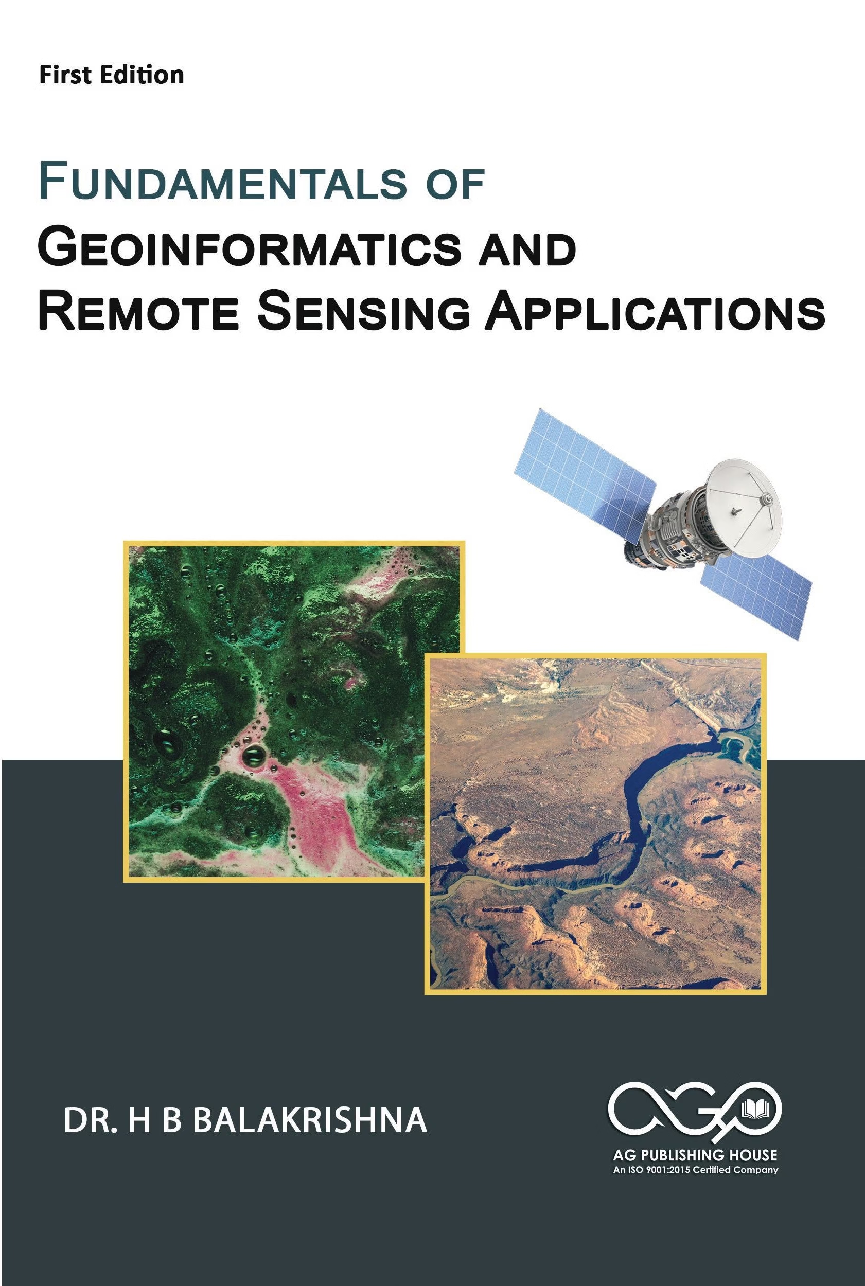
Fundamentals of Geoinformatics and Remote Sensing Applications introduces the core principles of modern geospatial technologies. At the outset, it explains theory and practical applications in clear language. Designed for students, researchers, and professionals, the book bridges academic concepts with real-world implementation across geography, environmental science, urban planning, and agriculture.
To begin with, the text outlines the scope and evolution of geoinformatics. It defines key components and explains foundational concepts. In addition, readers explore spatial and non-spatial data structures. The author explains coordinate systems and map projections step by step. Subsequently, the book presents the principles of Remote Sensing. It describes electromagnetic radiation, sensor systems, image acquisition, and digital image processing in a structured way.
Furthermore, a dedicated section examines Geographic Information Systems (GIS). It explains spatial data models and database management techniques. Alongside this, the book demonstrates spatial analysis and visualization tools with practical clarity. The author also discusses Global Navigation Satellite Systems (GNSS) and positioning methods. Moreover, he explains how GIS, GPS, and Remote Sensing technologies work together. As a result, readers clearly understand system integration.
Beyond theoretical foundations, practical examples highlight real-world applications. For instance, geospatial tools support land use mapping and agriculture. Similarly, professionals use them for water resource management, urban planning, disaster management, environmental monitoring, and mineral exploration.
Overall, the structured format and application-focused approach strengthen conceptual clarity. Therefore, readers develop the confidence to apply spatial technologies effectively in research, planning, and decision-making.
About the Author
Dr. H. B. Balakrishna brings over 39 years of experience in civil engineering. His career spans teaching, research, design, and construction. Over the years, he has built expertise in building design, infrastructure development, watershed management, and environmental impact assessment.
As a Professor, he has taught structural engineering and water resources engineering. In addition, he has delivered courses in Remote Sensing and GIS. He completed specialized training in Earthquake Engineering at IIT Bombay. Likewise, he pursued Green Infrastructure Management training at IIT Kharagpur.
Throughout his academic career, he has guided undergraduate, postgraduate, and Ph.D. scholars. Beyond mentoring students, he organizes technical programs that connect academia with industry. He has published more than 41 research papers. Moreover, he actively participates in professional bodies such as ACCE (I) and ACHMM (India). He contributes to national and international initiatives, including Startup India–Startup Portugal. In addition, he presents research internationally in Remote Sensing and GIS.
An alumnus of MCE Hassan, KREC Surathkal, and UVCE Bangalore, he has held leadership roles at Bangalore Institute of Technology and Atria Institute of Technology. Currently, he serves as Principal of Global Academy of Technology, R.R. Nagar, Bangalore.
About The Publisher
AGPH Books is a Professional Self Book Publishing House based in Central India, specializing in academic, professional, fiction, and non-fiction books in both print, digital and audio formats. The publishing house produces textbooks, research and reference works, biographies, self-help titles, children’s books, literary fiction, poetry, and general interest publications. With a transparent publishing process and strong digital distribution, AGPH Books ensures global availability through Google Books, Amazon, Flipkart, and its official website store, supporting authors and institutions in reaching a wide and diverse readership.
Product Details
Shipping Details
About the Author

Customer Reviews
(0)No reviews yet for this product.