
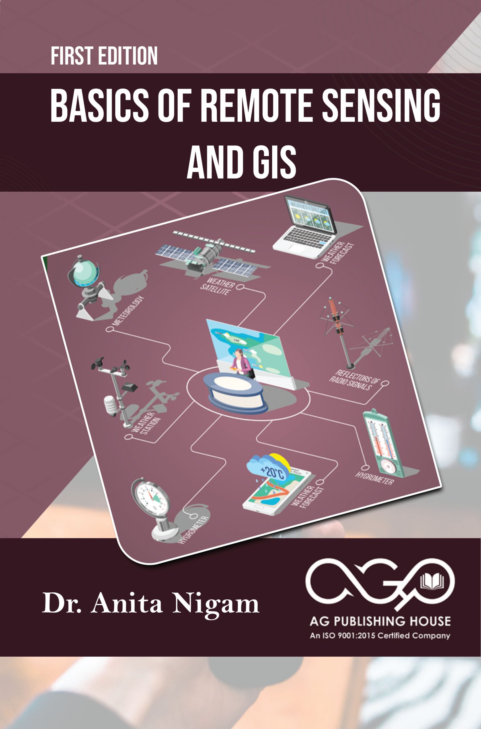
Basics of Remote Sensing and GIS
Order now for delivery in 6 to 7 days

Premium Quality

Fast Shipping

Best Price
Description
Remote sensing is a versatile technique facilitating data collection and the investigation of subjects or events without direct physical interaction. This method finds application across scientific disciplines such as geography, hydrology, ecology, oceanography, glaciology and geology. Complementing this, Geographic Information System (GIS) technology emerges as a crucial tool for mapping and assessing feature events on Earth, utilizing data gathered from sensors positioned globally. The integration of remote sensing and GIS brings together fundamental database functions, including statistical analysis and querying, with map data. GIS, as a technology, excels in handling information about places, offering tools for the analysis and display of diverse data sets such as population dynamics, economic development, features and vegetation. Accessible through GIS, these statistics contribute to dynamic presentations, fostering a deeper understanding of Earth's complexities. Furthermore, GIS facilitates database connections, enabling the creation of dynamic presentations. Distinguished by its capabilities, GIS stands out among other systems, finding applications in commercial and public sectors for planning and forecasting outcomes based on observations made by remote sensing satellites. This book serves as a guide to unraveling the intricacies of remote sensing and GIS, providing insights into their integration and diverse applications.
Product Details
Shipping Details
About the Author

Customer Reviews
(0)No reviews yet for this product.